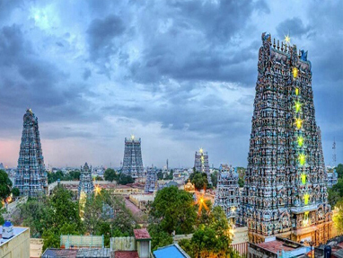
Tamilnadu
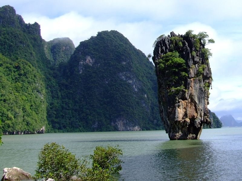
Tamil Nadu lies in the southernmost part of the Indian Peninsula and is bordered by the union territory of Puducherry and the South Indian states of Kerala, Karnataka, and Andhra Pradesh. It is bounded by the Eastern Ghats on the north, by the Nilgiri, the Anamalai Hills, and Kerala on the west, by the Bay of Bengal in the east, by the Gulf of Mannar and the Palk Strait on the southeast, and by the Indian Ocean on the south. The state shares a maritime border with the nation of Sri Lanka. Chennai formerly known as madras is the capital city of Tamilnadu.
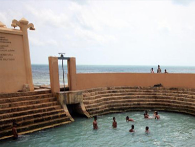
Tamil Nadu covers an area of 130,058 km2 (50,216 sq. mi), and is eleventh largest state in India. The bordering states are Kerala to the west, Karnataka to the North West and Andhra Pradesh to the north. To the east is the Bay of Bengal and the state encircles the union territory of Puducherry. The southernmost tip of the Indian Peninsula is Kanyakumari which is the meeting point of the Arabian Sea, the Bay of Bengal, and the Indian Ocean.
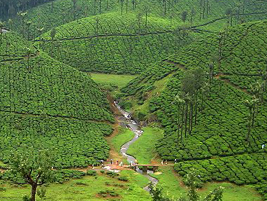
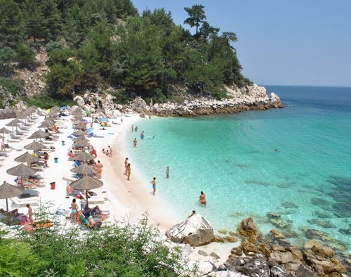
The western, southern and the north western parts are hilly and rich in vegetation. The Western Ghats and the Eastern Ghats meet at the Nilgiri hills.
Climate:
Tamil Nadu is mostly dependent on monsoon rains, and thereby is prone to droughts when the monsoons fail. The climate of the state ranges from dry sub-humid to semi-arid. The state has two distinct periods of rainfall:
• South West Monsoon from June to September, with strong southwest winds;
• North East Monsoon from October to December, with dominant north east winds;
The annual rainfall of the state is about 945 mm (37.2 in) of which 48 per cent is through the north east monsoon, and 32 per cent through the south west monsoon. Since the state is entirely dependent on rains for recharging its water resources, monsoon failures lead to acute water scarcity and severe drought. Tamil Nadu is divided into seven agro-climatic zones: north east, North West, west, southern, high rainfall, high altitude hilly, and Kaveri Delta (the most fertile agricultural zone).
Language:
Tamil (தமிழ்) is the official language of Tamil Nadu. English is also in common usage as an official language of India. When India adopted national standards, Tamil was the first language to be recognised as a classical language of India. As of 2001 census, Tamil is spoken as the first language by 89.43 percent of the population.
Transport:
Roads
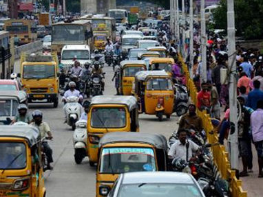
Tamil Nadu has one of the largest networks of roads in India. A number of national Highways pass through the state. They link the state with other parts of the country. Besides the national highways, there are State highways and local roads that connect different parts of the state. The length of road network in Tamil Nadu is about 1.70 Lakh km.
Vehicles
Almost all types of Luxury, Semi-luxury buses and tourist taxis are easily available for hire. Taxes of other States, toll tax, parking fees, Airport entry fee, ferry Charges etc. is charged extra.
Taxis
Tourist taxis are also available throughout Tamil Nadu. The tourist taxis can be hired for intra as well as interstate transportation. There are options of hiring self-driven or Chauffeur driven car.
Auto Rickshaws
For local city/town transportation auto rickshaws are easily available in almost all major towns and cities.
Local Bus Services
Tamil Nadu State Transport Corporation and Private Operators operate local bus services at regular intervals, connecting most places in Tamilnadu.
Railways
Tamil Nadu has a well-developed network of about 6,693 km and there are 690 railway stations in the state. The main Rail junctions in the State are Chennai, Madurai, Salem, Tiruchirapalli and Coimbatore.
Aviation
Tamil Nadu is well connected with other parts of India and the world by air network. Airports are located at Chennai, Madurai, Tiruchchirappalli, Coimbatore, Salem and Tuticorin.
Ports
Since Tamil Nadu has a long coast; the shore is lined with numerous minor and major ports. Some of the Seaports in Tamil Nadu are Chennai, Tuticorin, Cuddalore and Nagapattinam.
Assam:
Assam is a state in north-eastern India, south of the eastern Himalayas along the Brahmaputra and Barak Valley. Assam covers an area of 30,285 sq. mi (78,440 km2). The state is bordered by Bhutan and the state of Arunachal Pradesh to the north; Nagaland and Manipur to the east; Meghalaya, Tripura, Mizoram, and Bangladesh to the south; and West Bengal to the west via the Siliguri Corridor, a 22 kilometres (14 mi) strip of land which connects the state to the rest of India.
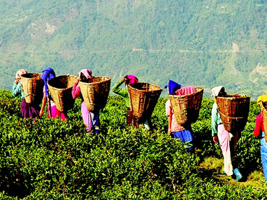
The Assamese economy is aided by wildlife tourism to Kaziranga National Park and Manas National Park which are World Heritage Sites. This rain feeds the Brahmaputra River, whose tributaries and oxbow lakes provide the region with a hydro-geomorphic environment.
Climate & Weather:
With the "Tropical Monsoon Rainforest Climate", Assam is temperate (summer max. at 95–100°F or 35–38°C and winter min. at 43–46°F or 6–8°C) and experiences heavy rainfall and high humidity. The climate is characterised by heavy monsoon downpours reducing summer temperatures and affecting foggy nights and mornings in winters, frequent during the afternoons. Spring (Mar–Apr) and autumn (Sept–Oct) are usually pleasant with moderate rainfall and temperature. Assam's agriculture usually depends on the south-west monsoon rains.
Language:
Assamese and Bodo are the major indigenous and official languages while Bengali holds official status in the three districts in the Barak Valley and is the second most widely spoken language of the state.
Public transportation:
Public transport in Assam comprises of Roadways, Railways, Airways, Inland waterways, Rickshaws, Taxis/cabs and others. The costs are reasonable and are of easy access.
Rajasthan:
Rajasthan literally “Land of Kings” is India's largest state by area (342,239 square kilometres (132,139 sq. mi) or 10.4% of India's total area). It is located on the north western side of the India, where it comprises most of the wide and inhospitable Thar Desert (also known as the "Rajasthan Desert" and "Great Indian Desert") and shares a border with the Pakistani provinces of Punjab to the northwest and Sindh to the west, along the Sutlej-Indus river valley. Elsewhere it is bordered by five other Indian states: Punjab to the north; Haryana and Uttar Pradesh to the northeast; Madhya Pradesh to the southeast; and Gujarat to the southwest.
Climate:
The Climate of Rajasthan in north western India is generally arid or semi-arid and features fairly hot temperatures over the year with extreme temperatures in both summer and winter. The south-eastern area is higher in elevation (100 to 350 m above sea level) and more fertile. The North western thorn scrub forests lie in a band around the Thar Desert, between the desert and the Aravallis. This region receives less than 400 mm of rain in an average year. Temperatures can sometimes exceed 54 °C in the summer months or 129 degrees Fahrenheit and drop below freezing in the winter.
Language:
Rajasthani is the official language of Rajasthan. However, Hindi and English are also widely spoken and understood respectively.
Public transport:
The most common local transport in Rajasthan is Mahindra Jeep and Auto Rickshaws. Government buses are readily available throughout the state.